Kiraway Trail 6-Day Guided Hiking Tour
Day 1
Meeting up at Nakashibetsu Airport
We’ll meet between 1 p.m. and 2 p.m. at Nakashibetsu Airport (SHB). There is a flight from Sapporo New Chitose Airport (CTS) that arrives just after 1 pm, and a flight from Tokyo Haneda Airport (HND) that arrives just before 2 pm. Flying to Nakashibetsu Airport is the most convenient way to join the tour, as there is no railway service in Nakashibetsu.
Once everyone arrives, we’ll head off to our accommodation in Central Nakashibetsu and have a get-together to introduce ourselves and go over the 5-day tour programme. In the evening, we will be escorted by a local guide on a nocturnal downtown walk and have dinner at a local favourite hotspot.
No hiking
Day 2
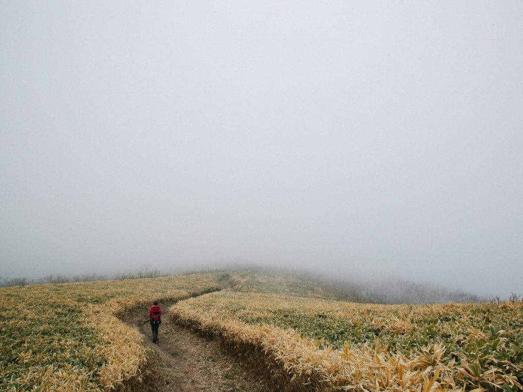
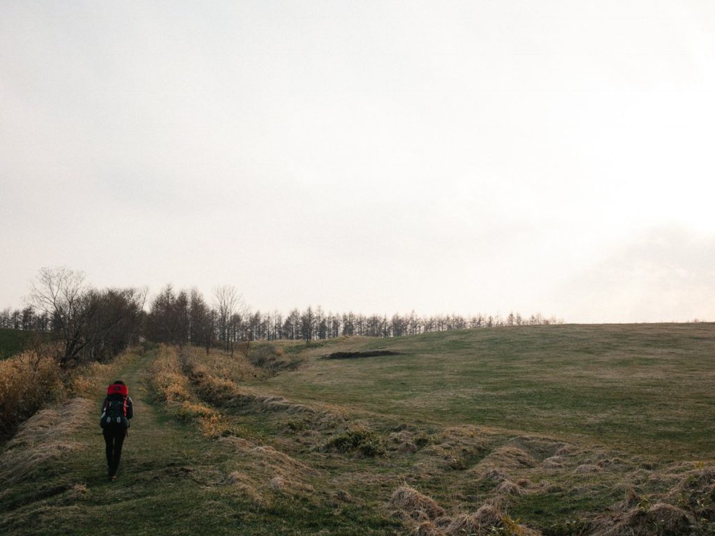
Hike to Saeki Farm
This morning, we’ll set off in a vehicle and begin the hike from Kaiyodai Lookout, elevated at 271m. The lookout enjoys a 360-degree panorama view over the Konsen Plateau and the mountains, which we will be hiking to in the next few days.
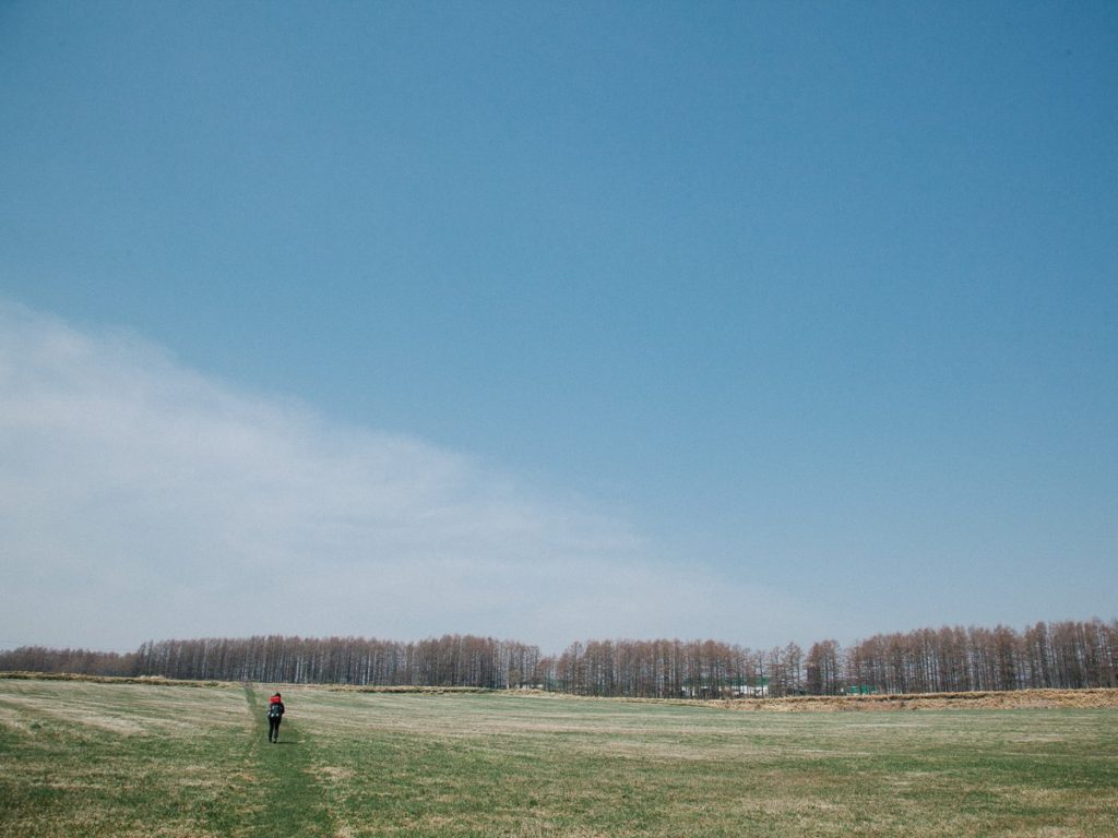
From Kaiyodai we’ll start our walking journey from inn to inn on the Kita-Nemuro Ranch-Way. The distance of the whole trail is 71.4km from Nakashibetsu Airport to Biruwa Village as we’ll be skipping the first 14km getting out of town.
This trail was built by the farming communities, who are generously permitting hikers to walk on their private farmlands. This was made possible by the dedicated owner of Saeki Farm, who brought together neighbouring farmers and asked for their cooperation in installing the long trail in their properties.
Along the trail, we’ll come across signposts, bells to keep bears away, and stiles, all established by a voluntary team. This is a truly unique trail in Hokkaido.
Today we’ll walk in some of the windbreak forests which are laid in a lattice pattern. This unique landscape has been appointed as Hokkaido Heritage. Tonight we’ll be staying at Saeki Farm in a barn that has been transformed into a warm and comfortable accommodation for us. We will be using our sleeping bags here.
Distance – 10km / Ascent – 130m / Time – 4 to 5 hours
Day 3
Hike to Yoroushi Onsen
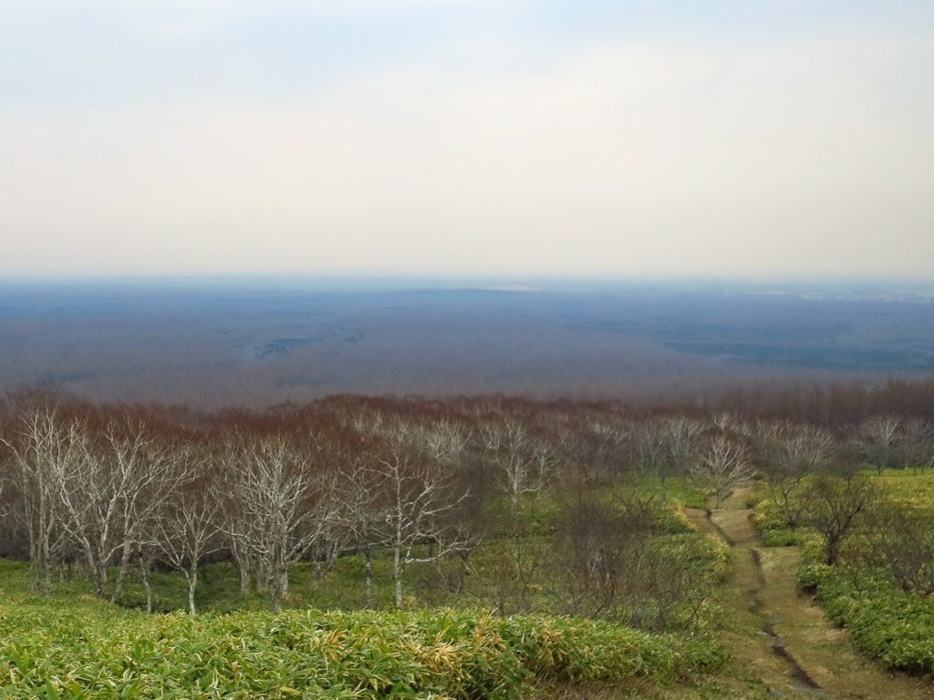
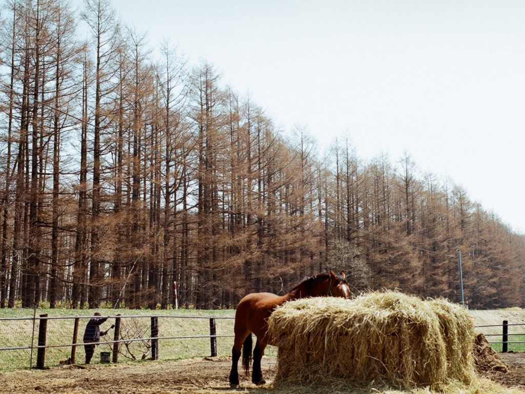
Before we head on to our next destination, we recommend checking out the art gallery and the photography museum on Saeki Farm displaying local artwork. Today we’ll continue traversing through the private farmlands, walking past friendly cows and horses. We’ll reach today’s destination Yoroushi Onsen in the early afternoon.
After check-in, we’ll go for a short walk and explore the nearby forest and small waterfall or go a little further to Karamatsu Onsen. This natural thermal spring on the riverside, is for the advanced onsener, as it’s one of Japan’s few remaining mixed gender outdoor onsen! We’ll stay the night at a traditional Japanese inn with onsen tonight.
Distance – 9km / Ascent – 60m / Time – 4 to 5 hours
Day 4
Hike to Mt. Nishibetsudake Hut
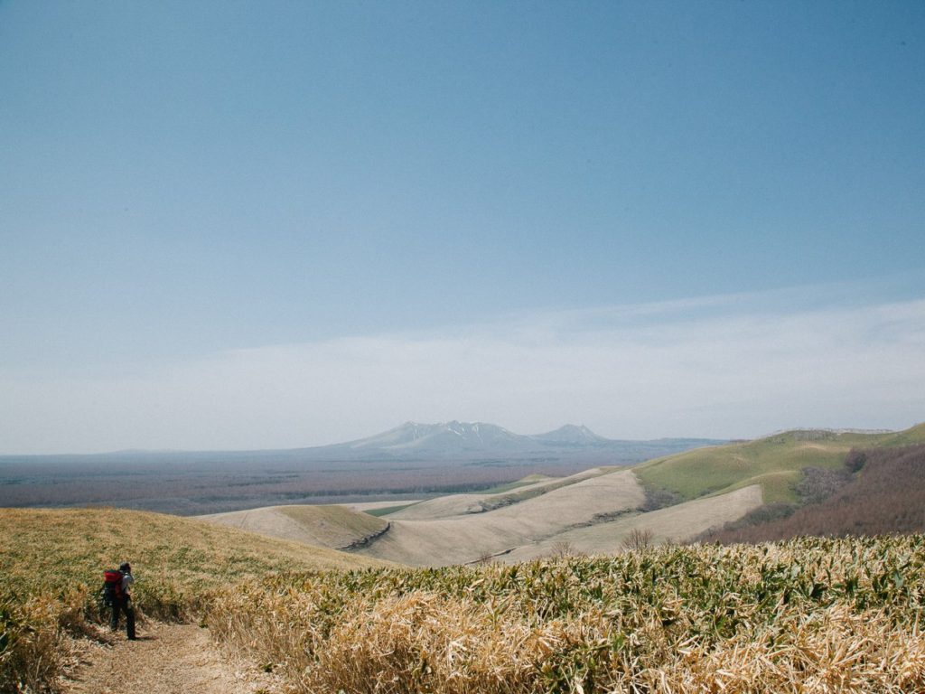
Today is a full day of walking covering more than 17km to Mt. Nishibetsudake Hut located at the trailhead to Mt. Nishibetsudake. In the morning we’ll climb a small hill called Mt. Moan-yama at 356m above sea level, from which we will be able to view Mt. Nishibetsudake and Mt. Mashudake over the farmland.
From Mt. Moan-yama, we’ll head down to the valley and walk across a small piece of wetlands called Keneka Shitsugen, and eventually reach a long stretch of gravel road with a chance to spot native sika deer on the fields. The gravel road continues all the way to the hut and surrounded by larch forests.
It is a two-story hut, with a fireplace inside, toilets outside. We will bring our own sleeping bags to sleep in here. There are futon (Japanese bedding we sleep on) in the hut, which we can also use. Ear plugs are recommended, as there are no walls to separate the sleeping areas in this hut. Our guides will take care of preparing dinner and breakfast here.
Distance – 17km / Ascent – 320m / Time – 7 to 8 hours
Day 5
Hike to Mt. Nishibetsudake
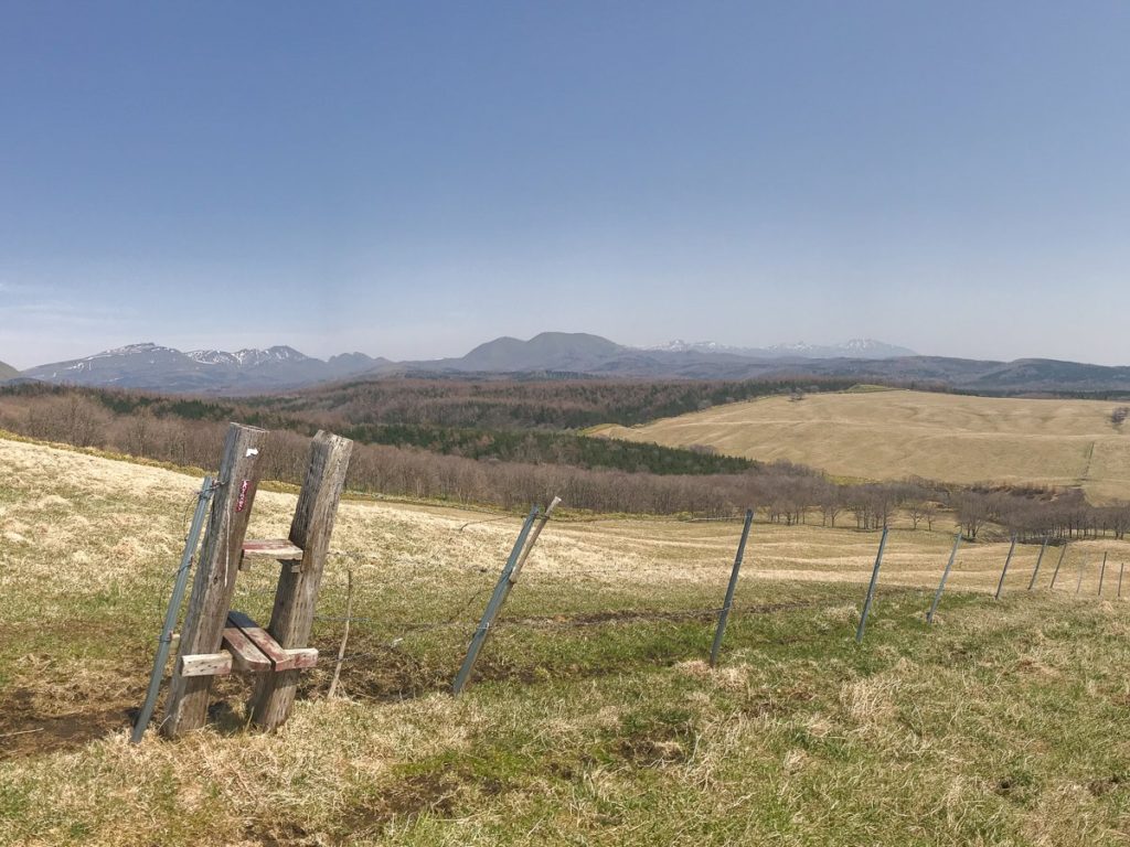
This morning we’ll start climbing straight away! From the hut at 335m we’ll walk up Gaman Zaka which translates to ”the endurance slope” all the way up to Mt. Risukeyama at 787m, on the ridgeline joining with Mt. Nishibetsudake. Despite of its low elevation, the view from the ridge is rewarding, providing alpine-like vistas.
If we have enough time and energy, we’ll take a detour to Mt. Mashudake (857m). Hokkaido’s indigenous Ainu people call this mountain ”Kamuinupuri”, meaning the Mountain of the Gods. The peak is situated on the outer rim of a volcanic crater that lie between Mt. Mashudake and Lake Mashu. Even though we won’t take a detour to Mt. Mashudake, we will be able to see close by Lake Mashu, well-known for its strikingly clear, blue water.
We’ll continue walking along the rim while admiring the lake view and arrive at a tourist centre at Mashu Lookout. After a short break here, we’ll walk another 6km following down the trail in the forest, and eventually reach the finishing point of Biruwa Village. There, we will be picked up by our support vehicle and transfer for Kawayu Onsen.
Distance – 17 to 21km / Ascent – 680m / Time – 9 to 10 hours
Day 6
Finish after transfer to Nakashibetsu Airport
The Japanese characters that make up the name of Kawayu village mean ”hot water” and is an apt name for the abundant thermal springs which flow through the centre of the village. This morning we’ll go find the source of this onsen in Mt. Iouzan volcano, before heading back to Nakashibetsu Airport.
We’ll walk the leisurely trail that extends 2.5km from Kawayu Village to Mt. Iouzan. The Ainu people denominated this mountain ”Atosanupuri” meaning the naked mountain. It is a young active volcano with the steam constantly discharging from its fumaroles, providing a spectacular view to wrap up our tour with!
We’ll return on the same trail back to Kawayu Onsen, and transfer to a vehicle and head over to Nakashibetsu Airport, just in time for you to catch a flight, departing at 1.35 pm for Sapporo New Chitose (CTS), or at 2.30 pm for Tokyo Haneda (HND).
Distance – 4.5km / Ascent – 30m / Time – 2 hours